Enhancing our Biodiversity
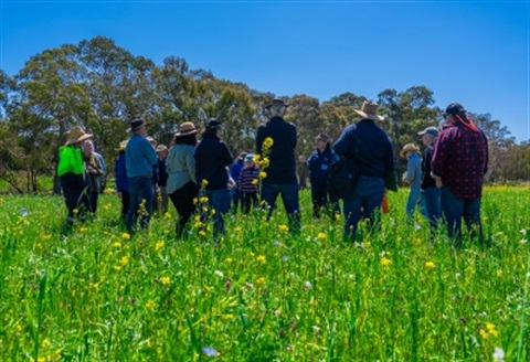
The Macedon Ranges is home to biodiversity of exceptional significance. Its varied topography, altitudes, and microclimates create diverse ecosystems that support a rich array of native plants and animals. Despite historic clearing for farming and settlement, about 33% of native vegetation remains in relatively good condition—much of it on private land—providing vital habitat and directly underpinning the local economy through tourism and agriculture.
Yet this natural wealth is under increasing pressure. Habitat loss and fragmentation, shifting land uses, and the impacts of a warming climate threaten the survival of native species and the resilience of our landscapes. Protecting and strengthening this biodiversity is therefore both an environmental necessity and an economic imperative.
High-resolution aerial imagery, combined with advanced AI analysis, can deliver accurate tree canopy vegetation mapping across the Macedon Ranges. This dataset identifies vegetation taller than 2 metres, with an accuracy of 80–90% when compared to ground-truthing. Historical imagery dating back to 2010 is available, enabling long-term monitoring of vegetation change.
The project proposes acquiring datasets at key intervals (2010, 2015, 2020, 2025, and 2030) to provide a robust evidence base for biodiversity planning, environmental monitoring, and urban cooling strategies and engage specialist consultants to undertake foundational analysis and visualisation, with the option to engage external expertise for advanced reporting and integration into strategic planning.
Benefits
Investing in vegetation mapping is a strategic step toward protecting and enhancing the Macedon Ranges’ natural assets. With accurate, high‑resolution data, we can move beyond outdated modelling and finally measure the real state of our environment.
This provides the evidence needed to evaluate whether our Biodiversity Strategy is achieving its core objective of safeguarding native vegetation, while also giving us the ability to identify and respond to illegal clearing, restoration efforts, and demonstrate tangible progress to the community.
The value of this mapping extends well beyond biodiversity. It underpins planning for habitat connectivity and biolinks, ensuring that revegetation and restoration activities are targeted where they will have the greatest impact. It also lays the groundwork for climate resilience by feeding directly into the Urban Cooling Strategy (in its early planning stage) and guiding practical initiatives such as annual street and park tree planting. In short, this is not just data—it is a foundation for smarter policy, stronger compliance, and more effective on-ground action that will secure both ecological health and liveability for the shire into the future.
Project costs
A summary of estimated project costs and funding sources.
| Cost description |
Cost ($) |
| Comprehensive data set |
30,000 |
| Data analysis |
25,000 |
| TOTAL |
55.000 |